Map climates.tga
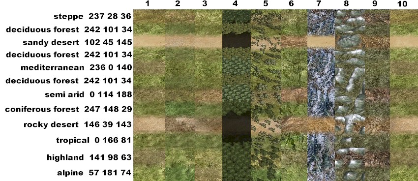
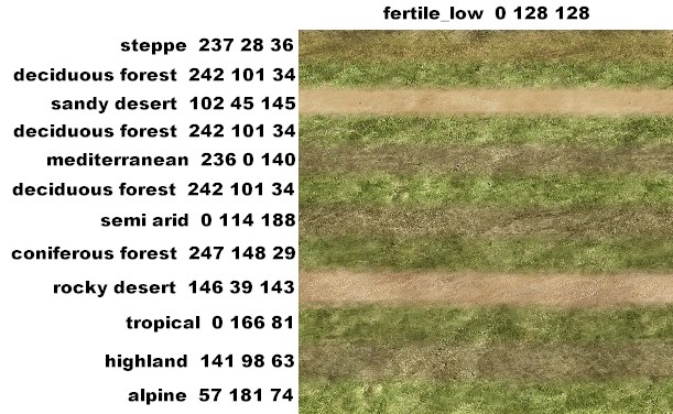
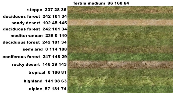
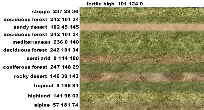
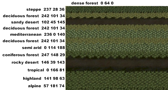
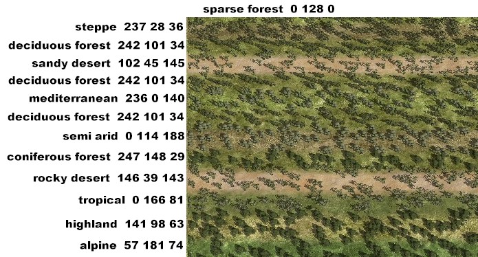
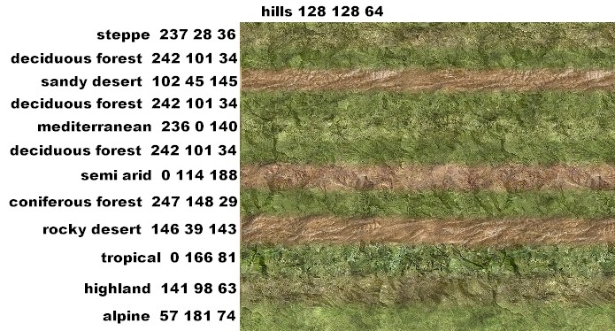
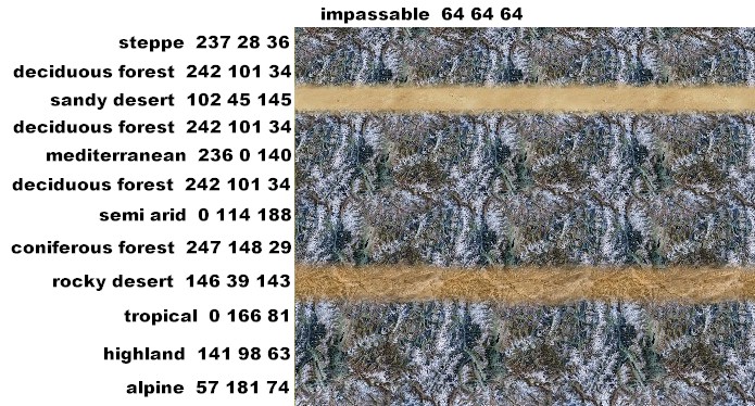
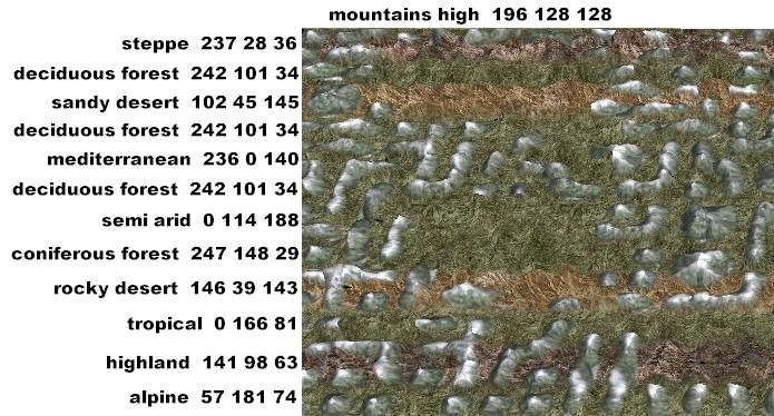
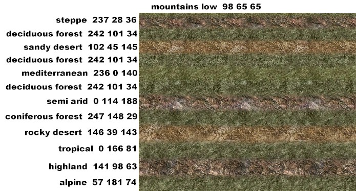
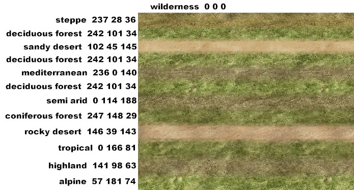
After playing around with map_climates I thought I would post some images since there arent very many details to be found about it. I took each ground_type and overlaid it with each type of climate. There are several images, one with each type/climate laid out side by side then a larger image of each ground_type with a strip of climate through it.
1. low fertile
2. medium fertile
3. high fertile
4. dense forest
5. sparse forest
6. hills
7. impassable
8. mountains high
9. mountains low
10. wilderness
swamp and beach always look the same no matter what climate is used. impassable has a few different looks but not many. I tried to separate the climate types so they are easier to see, and I inserted deciduous forest a couple of different times for a line break.
GrnEyedDvl