Total War: Rome Remastered - Modding
Good News! A), Total War: Rome Remastered is here! B), it's moddable!
There will probably be some quirks initially, and because it looks sooo much better, there will also be more work involved in getting mod assets to match up.
Contents
Textures
RR still uses .tga.dds files (e.g. dds files but with the .tga name appended so that text files actually just ask for .tga)
Some textures are compressed using the LZ4 system, these also have an additional header section which can be ignored. There will be a version of IWTE along shortly which will de-compress a directory of these textures back to their starting .dds state.
Some textures are DX10 type, these you can probably open but not see the correct information, if you have a recent version of Photoshop you can use this plugin to open them. Otherwise, you need to convert them to .tga using the Texconv tool or similar. The easiest way to use this tool is by writing a .bat file (so you don't have to remember the commands each time!), and example .bat would be:
@echo off
texconv.exe -r my_folder\*.dds -ft tga -o my_folder
cmd /k
Fortunately, the game will accept and run happily with non-compressed DXT5 and DXT1 dds textures in the same way as RTW, so you only need to mess about with the above if you need to view or amend some of the existing textures.
Campaign Map
One of the areas modders' have been most worried about was whether the game would support completely redesigned maps now that a model mesh system has been introduced for the campaign map. Although this looks like the vanilla shaped map, it's actually partway through porting a version of the Mundus Magnus large map for RTW (originally by ngr).

This still needs a lot of work and 'tweaking' but is working well as a proof of concept of what will be possible.
Similarities to the original system:
A quick look in the data/world/maps folders will reassure RTW and M2TW modders that the map image and text files they are familiar with are still there. If you have a 'pure map' mod you should be able to use your existing map_heights.tga, descr_strat.txt etc to launch a mod for Remastered without much problem. If the mod has modded units, buildings, ancillaries etc, it will take more unravelling, just as porting a map between different mods would. If you try to copy in all of your mod's files you will probably find either some conflicts, or that you have overwritten new features in Remastered such as the addition of traits and ancillaries to support the new Merchant agent type.
That's the good news... your basic map files are still valid! The basic files drive the campaign map pathfinding, placement of settlements and resources and provide the climate/heights/ground_types information that is translated using the vegetation and geography.db files to make the battle maps.
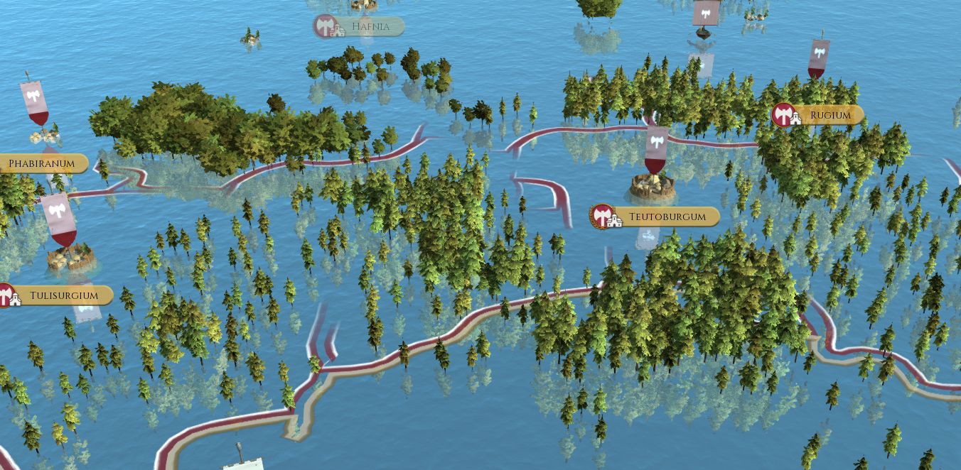
The not so good news, if you were after a quick result, is that they don't generate the mesh or textures you view on the campaign map! So if you load a map of a different size or shape the areas not covered by the existing mesh, or already on raised land areas, will just appear as sea! They will function, and the trees and settlements will turn up, and your troops will be able to move on the parts supposed to be land... so if you ever wanted to do a mod based in the Everglades, this could be for you.

Revised UI components:
When you scroll into the campaign map or use the tab button, the game display switches to a 2d view with various overlays, the overlays are generated by the game but you will need a large base map underlying them showing your new map outline, the components are as follows:
Large 2D Map: data\world\maps\campaign\imperial_campaign\feral_map.tga.dds - 4080 x 2496 size - the alpha layer needs to mask out the sea areas or they will appear black data\world\maps\campaign\imperial_campaign\feral_map_winter.tga.dds - winter version as above
Mini Map: data\world\maps\campaign\imperial_campaign\feral_radar_map.tga - 1020 x 624 size - again mask out the sea area shape from map_regions.tga data\world\maps\campaign\imperial_campaign\feral_radar_map_winter.tga - winter version as above
Components needed for new mesh map system:
To make things look good you obviously need to make a new or revised mesh!
Main Terrain and Heights: The mesh is actually formed from square chunks which in the vanilla map represent 20x20m squares in each case file, these can be found in:
- data/terrain/campaign/pieces/ - cas format (will open with IWTW latest version .cas to .dae)
- data/terrain/campaign/descr_map_tiles.txt - text file lists all the cas pieces and which summer/winter textures they use and which heightmap .bin file they use.
- data/terrain/campaign/heightmap/ - bin files for functioning heights generated by the game from each of the pieces
- data/terrain/campaign/textures/ - colour and normal textures for the terrain sections, the cas pieces use conventional uv mapping so although the existing textures are mapped as though projected horizontally, you can alter this. All the land textures with the exception of the farming overlay need to be 'painted' onto each pieces' texture.
Coastline: Gives the surface for the waves/surf effect near the shoreline, and can be found in:
- data/terrain/campaign/coastline/coastline.cas - model of the surface
- data/terrain/campaign/descr_map_coastlines.txt - text file which lists the above model
Rivers: These do not automatically appear where the map_features.tga shows them, instead they use a model surface similar to the coastline in:
- data/terrain/aerial_map/river_mesh.cas - the river model - will only be visible if above the level of the terrain mesh - unfortunately as the game still generates region boundaries with wiggles/bend variety automatically, and doesn't generate the mesh for the rivers, it is currently difficult if not impossible to get rivers and boundaries to align exactly
3D Frame:
- data/terrain/campaign/frame/ - contains a cas model and textures for the 3d frame that hides the edges of the map